
Historical Atlases and Other History Books
Books
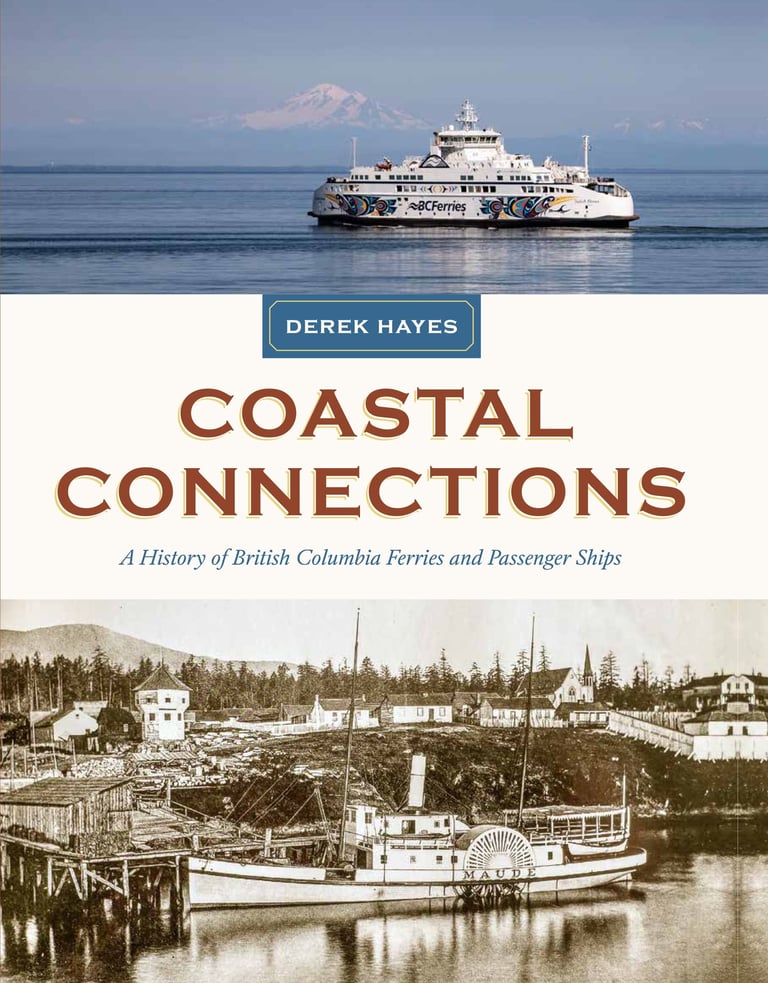

Coastal Connections
A History of British Columbia Ferries and Passenger Ships
From early paddle-wheelers like the SS Beaver to the latest high-speed catamarans, ferries and passenger vessels have always been central to the lives and livelihoods of British Columbians, connecting Vancouver Island, hundreds of smaller islands, and a rugged coastline to the rest of the province.
Coastal Connections describes early attempts to provide links between the Mainland and Vancouver Island as well as the northern coast. There was Canadian Pacific, with its fleet of Pacific Princesses; Canadian National, with its counterbalancing fleet of Prince ships serving a new city on the north coast—Prince Rupert; and Union Steamships, which provided service to small BC Coast settlements for over 70 years.
Then came BC Ferries. Starting in 1960 with just two ships, it has grown to become one of the world’s largest ferry fleets, with 35 ships carrying over 22 million passengers and nearly 10 million vehicles a year over more than 25 routes.
Illustrated with hundreds of archival and modern photographs, artworks and ephemera, this book is a visual treat for anyone interested in the coastal history of British Columbia.
The book is a follow-up to the previous Incredible Crossings (2022), which covered the inland ferries of BC. The book was intended to be a history of BC Ferries, and two-thirds of it are precisely that, but histories of its predecessors and competitors were also included for context.
New!


Quest for Speed
An Illustrated History of High-Speed Trains from Rocket to Bullet and Beyond
Humans have always wanted to go faster, and since the invention of iron rails this desire has been front and foremost. Technological innovations in both track and train have allowed speeds to increase from that of a horse to those of modern dedicated-track trains capable of speeds that are beginning to rival those of planes, and which are now proliferating in many countries. Derek Hayes’s latest book, Quest for Speed: An Illustrated History of High-Speed Trains from Rocket to Bullet and Beyond, takes us on a journey through time and throughout the world investigating trains that have been considered high-speed in their day. Exquisitely illustrated with hundreds of photos, both archival and modern, the book is a visual feast for anyone even remotely interested in railways.
With hundreds of colour photographs, many taken specially for this book, and readable text aimed at all those interested in history and the development of technology—not just railway enthusiasts...
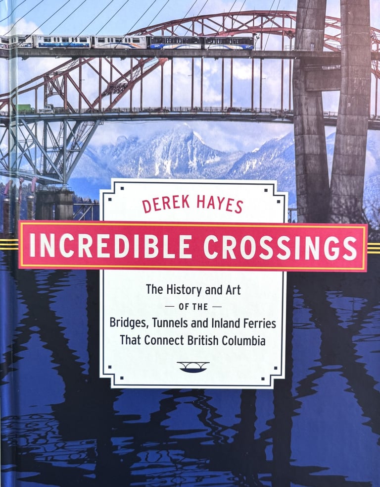

Incredible Crossings
The History and Art of the Bridges, Tunnels and Inland Ferries That Connect British Columbia
British Columbia has a surprising variety of bridges, with purposes ranging from crossing a river to bungee jumping, and many are graceful structures which, interpreted properly, are works of art. Lines and curves, verticals and horizontals, they are a great subject for the photographer. Photographer and historian Derek Hayes has scoured the province to find bridges with interesting stories and artistic structures, combining artistic images and intriguing history in this unique book.
It turns out there are far more superlatives in the province that you’d think. The very nature of topography of BC has meant that engineers have had to be innovative in their solutions to many...
A Unique Book Combining History and Art
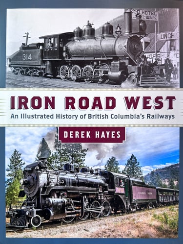

Iron Road West
An Illustrated History of British Columbia's Railways
Did you know British Columbia's first railway was built in 1861?
That the first crossing of the Rockies by a car was on railway lines?
That West Vancouver had a gas railcar service as early as 1914?
That there was a railway where the Coquihalla freeway is now?
That BC had an armoured train during World War II?
That Canada's smallest railway - on full-size rails - runs daily to and from Lillooet?
That North America's last logging railway ran on Vancouver Island until 2017?
British Columbia wouldn’t exist without the railway; the province was brought into the Canadian...
The history of railways in British Columbia from 1861 to present day
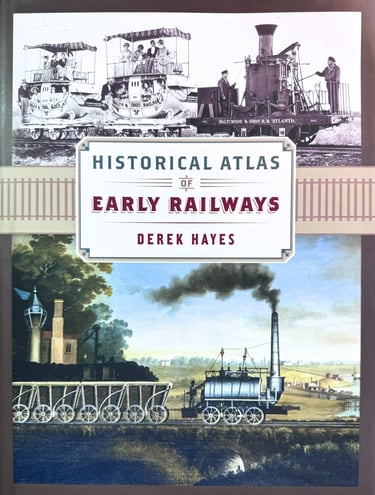

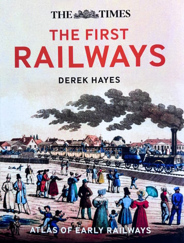
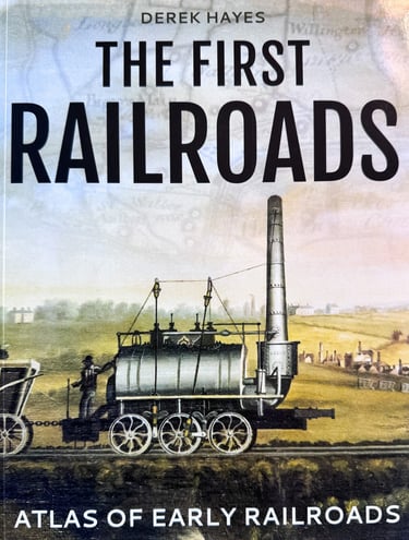
Historical Atlas of Early Railways
Published in the UK as The First Railways
The coming of the railway changed the world. Yet railways did not begin with the opening of the Liverpool & Manchester Railway in 1830, as so many texts proclaim, but much earlier. Wagons were being put on rails as early as the fifteenth century, and in the fifty years prior to 1830 there were hundreds of railways created, with wooden rails, with iron-topped wooden rails, with cast iron, and wrought iron, each improving on the strength and durability of the previous and, importantly, creating a set of available trackwork that could be used by a new invention—the steam locomotive.
This book covers the emergence of the modern railway in a unique, essentially geographical way, providing contemporary maps, many never before published, showing the locations and routes of the early railways. The book is profusely illustrated, for in addition to the maps it has photos of most of the surviving first locomotives and of replicas too, where they exist. There are nearly 300 maps and 400 photos and other...
Published in the US as The First Railroads


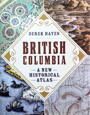

British Columbia A New Historical Atlas
Winner: Roderick Haig-Brown Regional Prize "as the most outstanding work that contributes to an appreciation of British Columbia published this year in the opinion of the judges of the BC Book Prizes."
British Columbia was one of the last temperate places on earth to be placed on a world map, being far from Europe on "the backside of America," as the Elizabethans would have put it. Although home to a diverse population of Aboriginal peoples, the region initially lacked the promise of gold that had...
Winner: 2013 Inaugural Basil Stuart-Stubbs Prize for Outstanding Scholarly Book on British Columbia
The story of British Columbia in maps, from the 1500s to the Olympics
Winner: Lieutenant Governor's Medal for Historical Writing. (British Columbia Historical Federation)
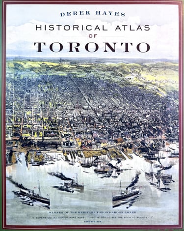

Historical Atlas of Toronto
Heritage Toronto Award of Excellence Winner - October 2009
Lavishly illustrated with over three hundred maps, this new book charts the evolution of the city from its origins as a Native village to a French trading fort, to York, the capital of Upper Canada, and finally to Toronto, Canada's largest and most diverse city. Packed with archival photos and memorabilia to complement the maps.
192 pages, full colour, hardback. Douglas & McIntyre.
"You've probably never seen the city the way Derek Hayes has" - National Post (23 Aug 2008)
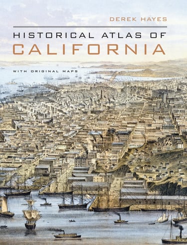

Historical Atlas of California
Winner of the Northern California Independent Booksellers Association Book of the Year Award for books about California
Using nearly five hundred historical maps and many other illustrations--from rough sketches drawn in the field to commercial maps to beautifully rendered works of art--this lavishly illustrated volume is the first to tell the story of California’s past from a unique visual perspective. Covering five hundred years of history, it offers a compelling and informative look at the transformation of the state from before European contact through the Gold Rush and up to the present. The maps are accompanied by a concise, engaging narrative and by extended captions that elucidate the stories and personalities behind their creation. At once a valuable reference and an exhilarating adventure through history, the Historical Atlas of California, featuring many rare and unusual maps, will be a treasured addition to any library. Distilling an enormous amount of information into one volume, it presents a fascinating chronicle of how California came to be what it is today.
256 pages, full color hardback. Nearly 500 maps. Available from all good booksellers. More details at University of California Press
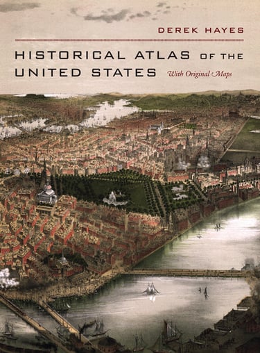

Historical Atlas of The United States
Using more than five hundred historical maps from collections from around the world, this stunning book is the first to tell the story of America’s past from a unique geographical perspective. Covering more than half a millennium in United States history—from conception to colonization to Hurricane Katrina—the atlas documents the discoveries and explorations, the intrigue and negotiations, the technology and the will that led the United States to become the nation it is today.
The earliest maps were those of the explorers, who, with help from Native Americans, tried to convey in graphic form their ideas of what lay over the mountains ahead. Coasts and ranges,rivers and lakes, peaks and plains are described by Europeans encountering them for the first time.
Geographic conceits such as the River of the West took centuries to be dispelled. As settlement spread across the continent, maps were used to attract both immigrants and investors. They charted Indian lands, the location of natural resources, and potential routes for railroads. Surveyors mapped out both international and interstate boundaries. Above all, maps charted the major wars that created and molded the country: the French and Indian War, the War of Independence, the Spanish-American War, and the Civil War as well as more localized territorial disputes. The twentieth century is represented by maps of international conflicts accompanied by accounts of the more peaceful creation of a transportation network, plus the Depression and the New Deal, Cuba, the Cold War, and 9/11. Distilling an enormous amount of information into one handsome volume, the Historical Atlas of the United States highlights the evolution of geographical knowledge at the same time that it presents a fascinating chronicle of the expansion and development of a nation.
Fall 2006. 280 pages, large format, full color hardback. 256 pages, full color hardback. Nearly 500 maps. Available from all good booksellers. More details at University of California Press
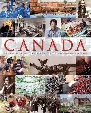

Canada: An Illustrated History
New Edition 2016
From exploration and conquest to the forging of a nation, this remarkable book charts the course of Canadian history. Through more than 440 carefully selected images and an engaging text, it relates the fascinating stories of a nation in the making.
Here are the events, the newsmakers, and the ordinary folk that shaped the Canadian experience. Here are tales of the famous, the infamous, the popular, and the unknown: the natives, the nation-builders, the separatists, and the statesmen; the soldiers, the settlers, the rebels, and the refugees; the artists...
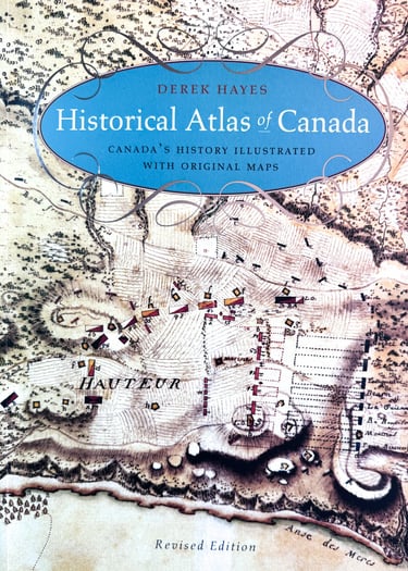

Historical Atlas of Canada
Canada's History Illustrated with Original Maps
Canada's history comes alive in this fascinating book, which uses period maps to illustrate and illuminate the past.
Here are charts of the seizing of an empire and the settlement of the prairie, of war and wanderlust, battles and boundaries, forts and the fur trade, river communications and railway surveys, rebellion...
Canadian Authors' Association Silver Medal for History
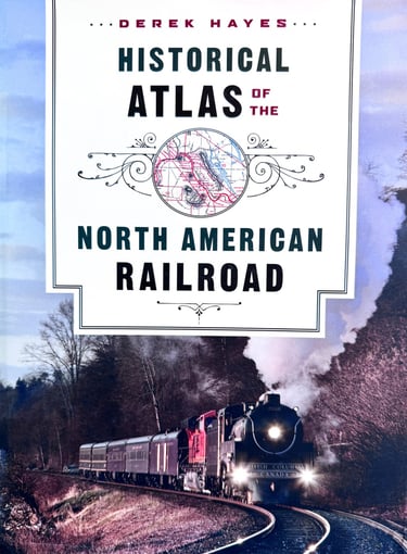

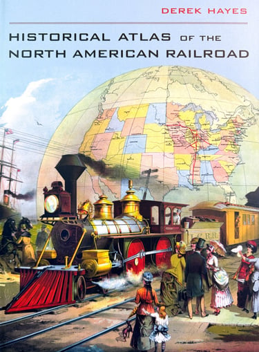
Historical Atlas of the North American Railroad
A visually sumptuous look at how the railroad transformed North America.
Railfan Dennis Spence of Stillwater NJ wrote, in an unsolicited email: "Possibly the greatest and most informative and entertaining book I have ever seen, and I have thousands of books."
The railroad changed the face of North America forever, allowing the its economy to become industrialized and catalyzing settlement and growth within the continent. People and goods could now move vast distances, time zones were standardized, and military use of the railroads transformed the nature of war.
This latest book in the popular Historical Atlas series outlines the development of the railroad system from its very beginnings around 1830 through to today’s freight railroads and government passenger services. It features an unprecedented 40 0 -plus contemporary and historical railroad maps, photographs and many other railroadiana illustrations.
Here is a colourful, integrated approach to the origins and development of railroads—their heyday, decline and modern rebirth—in both the United States and Canada, for anyone who loves art books, history, maps or railroads.
224 pages, full color, hardback. Published September 2010. Jointly published by D&M Publishers in Canada and the University of California Press in the United States. Please note that the jackets and title pages are different in the two editions, otherwise the books are identical.

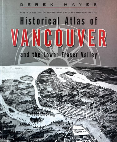

Historical Atlas of Vancouver and the Lower Fraser Valley
*** City of Vancouver Heritage Award April 2011 ***
Now, from award-winning author and book designer Derek Hayes and Vancouver publisher Douglas & McIntyre comes this fascinating new atlas of Vancouver's history.
Illustrated with over 370 original maps, many never before seen by the general public, this full-colour, large-format book is a visually spectacular feast for the eyes. The book also contains over 140 archival photographs and artworks and modern photographs.
Gathered together in a single volume for the first time, here are the maps that shaped Vancouver and...
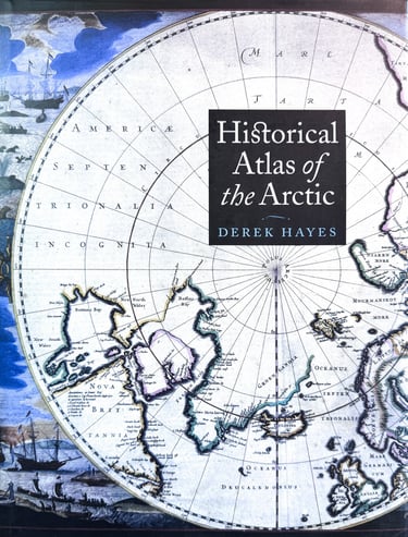

Historical Atlas of the Arctic
This beautifully-illustrated atlas brings together more than three hundred stunning original maps to illustrate four centuries of Arctic exploration. It charts the evolution of man's knowledge of the top of the world as explored by sail, steam, sledge, and satellite.
The maps of early Arctic explorers, often more fanciful than realistic, survive as testimony to their hopes and dreams. Whether artistic or utilitarian, they add a fresh perspective to the stories of their travels and hardships. Collected here for the first time, they show how knowledge of the Arctic was revealed as gaps in the map were filled in over the centuries.
The maps are accompanied by an insightful commentary detailing the hopes, aspirations, and motivation of explorers and the often harsh realities they faced. All the major Arctic explorations are covered, from the middle of the sixteenth century to the twentieth-century flights by airship and airplane. The atlas describes the search for and achievement of the Northwest and Northeast Passages, the race for the Pole, and the search for land in the Arctic Ocean. It concludes with modern scientific exploration by satellite and submarine. It is a unique guide to the perils and obstacles, successes and failures, triumphs and tragedies of Arctic exploration over the centuries.
(Canada and US: Douglas & McIntyre / University of Washington Press)
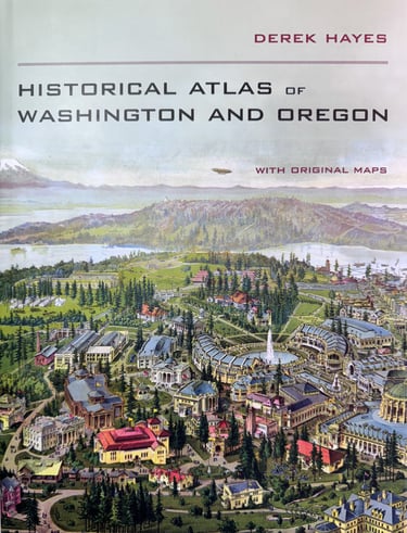

Historical Atlas of Washington and Oregon
This gorgeous atlas, illustrated throughout with more than 500 colorful images and maps, provides a visually rich and textually engaging history of the states of Oregon and Washington.
Derek Hayes brings his enthusiasm and expertise to a full range of topics, beginning with the first inhabitants and tracing the westward expansion, conflict between settlers and Native Americans, and the establishment of the Oregon Trail.
We see in vivid images, old maps, and lively text the coming of the railroads and the rapid establishment of the coastal ports, northwest cities and roads, the fur and lumber industries, and the large farms. We also witness the twentieth-century development of the war industries, the establishment of the aviation industry, and the celebratory 1962 Seattle World’s Fair.
At once a valuable reference and an exhilarating adventure through history, the Historical Atlas of Washington and Oregon presents readers with a fascinating chronicle of how these proud states came into their own and how they each look toward the future.
240 pages. Full color throughout, hardcover. Published October 2011. University of California Press
Reviews
"Mr Hayes takes you from the first, some imaginary, maps of the Pacific Northwest to current time. Lots of history of the people involved and the maps they made. This is a big, heavy book, not for the reading in bed, almost needs a book stand. The pictures are outstanding in detail and coverage." ~( Goodreads )
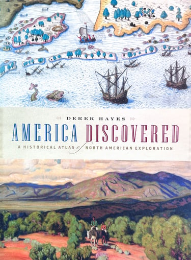

America Discovered
Dreams of gold, imperial aspirations, and an economic imperative. These factors drove Europeans from late in the fifteenth century to risk their lives exploring the uncharted coastline of North America, then penetrating—and eventually occupying—the mysterious and to them unknown interior.
America Discovered reveals how, piece by piece over centuries, explorers filled in the map of the "other land" encountered by Columbus in 1492. It confirms through graphic evidence how they were aided by the indigenous people whose territory they were claiming as their own. Besides acting as guides, Native Americans provided valuable geographic information about what lay beyond—although their reports were often misinterpreted, often with intriguing results.
Using more than 280 original maps and dozens of historic illustrations, this remarkable atlas shows how geographical myths such as the Northwest Passage and the River of the West were slowly shattered. How rumored "seas" became great lakes, how apparent islands (such as California and Alaska) were found to be peninsulas, and how the full extent of the continent was finally revealed. From famous names such as Lewis and Clark to others more neglected by history, it tells the fascinating story of the men who put North America "on the map". (Douglas & McIntyre)
A Historical Atlas of North American Expedition
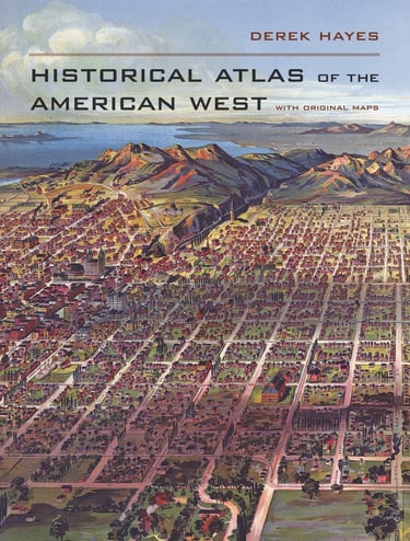

Historical Atlas of the American West
Lavishly illustrated with hundreds of maps documenting the history of the American West from the earliest times to the present day. Spectacular in scope and visually brilliant, this atlas presents a sweeping history of the American West through more than 600 original full color maps and extended captions. From the earliest human inhabitants and the first European explorers to the national parks and retirement resorts of today, this extensive collection chronicles the West from uncharted territory to a wellpopulated Eden. This is the first atlas to compile all the historically significant maps relating to the American West; it includes field sketches of battles, the first maps to show the West, maps depicting mythical rivers and fictional towns, and maps showing early conceptions of California as an island. The book distills many centuries into one fascinating volume.
288 pages, full color, hardback. Published October 2009.
More details at University of California Press
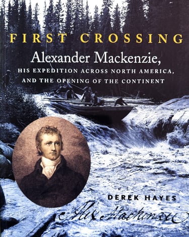

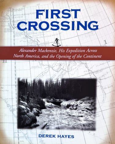
First Crossing
Here is a major exploration story of epic proportions, romantic, historically significant, and compelling. It is the story of Canada’s most famous explorer, Alexander Mackenzie, who in 1793 became the first person to cross the continent of North America north of Mexico. This new book explains with the help of many contemporary maps and illustrations what drove Mackenzie forward to undertake his dramatic and dangerous quest for the Pacific Ocean, and traces his travels in a highly illustrated and immediate style that underlines both the dangers and the significance of his exploits.
(Canada and US: Douglas and McIntyre/Sasquatch Books)
Alexander Mackenzie, His Expedition Across North America, and the Opening of a Continent

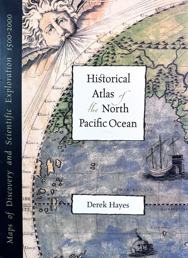

Historical Atlas of the North Pacific Ocean
The Pacific Ocean, the world’s largest expanse of sea, was only “discovered” when it was found that the continent of America blocked the way to Cathay. Another continent implied another ocean between it and the shores of Asia. Virtually nothing was known about this “new” ocean, but mapmakers did not usually let lack of knowledge get in the way of making their maps; they used their imaginations to fill in the gaps. Geographical knowledge of the North Pacific grew only slowly, with few voyages in the northern part of the ocean. In 1728 and 1741 came the expeditions of Vitus Bering for Russia, but it was not until James Cook’s third voyage in 1778-1779 that the bounds of the ocean were truly revealed. After that, the aroused interest of many nations led to a faster pace of discovery.
But knowledge of the ocean itself was still meagre, and only started to be revealed with the challenge of the laying of submarine telegraph cables in the second half of the nineteenth century. A number of oceanographic expeditions began to reveal the secrets of the ocean depths in the first half of the twentieth century, but it was not until the advent of modern technology, and in particular the satellite, that comprehensive and near-continuous monitoring of the ocean became possible. Now multibeam bathymetry can reveal the fine details of the sea bed, and an array of high technology allows the behavior of the ocean itself to begin to be understood. But we are still at the edge of a little known world.
This stunningly illustrated new book is a historical atlas of the North Pacific Ocean and its shores – China, Korea, Japan, Russia,the United States and Canada. It is a treasure chest of five hundred years of maps; antique maps from the beginning of the sixteenth century to modern satellite images of today. All the important voyages of exploration are covered, illustrated with the explorer’s own maps or contemporary maps which reveal what they thought the geography looked like before they arrived, and what they added to the map of the world.
(Canada: Douglas and McIntyre; US: Sasquatch Books; UK: British Museum Press)
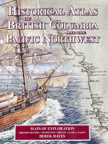

The Historical Atlas of British Columbia and the Pacific Northwest
The Historical Atlas of British Columbia and the Pacific Northwest (Canadian edition) and the Historical Atlas of the Pacific Northwest (US edition) is a unique collection of over 320 original maps of explorers and navigators from four centuries of voyages and overland treks of exploration and discovery to the northwest coast, plus native maps, and a host of others selected for their interest or historical significance. There are imaginary and speculative maps, old political boundary maps, boundary dispute maps, military and spy maps, bird’s eye maps, gold rush maps, railway maps and Hudson’s Bay Company maps. All are reproductions of hand-drawn or contemporary engraved originals. The maps are combined with context-setting history, explanations of how the maps came to be drawn, and the history behind them.
"Magnificent...a monumental achievement" - Pierre Berton
"A masterpiece...a truly remarkable contribution to the printed histories of this province" - Victoria Times Colonist
(Canada and US: Douglas and McIntyre/Sasquatch Books). Published 1999. Now Out-of-Print
New book published in 2012: British Columbia A New Historical Atlas (see above). A COMPLETELY NEW BOOK!!
Winner of the B.C. Booksellers' Association Bill Duthie Prize for the Best Book published in British Columbia
Historical Atlas of the Pacific Northwest
(Canadian edition)
(US edition)
