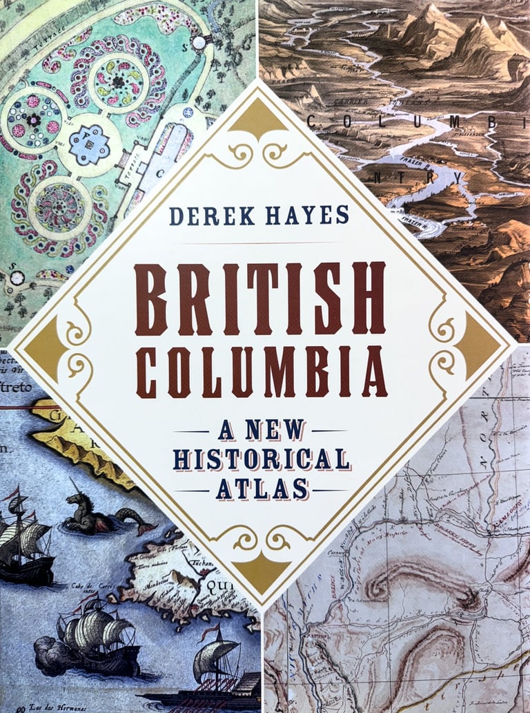
British Columbia A New Historical Atlas
The story of British Columbia in maps, from the 1500s to the Olympics
British Columbia was one of the last temperate places on earth to be placed on a world map, being far from Europe on "the backside of America," as the Elizabethans would have put it. Although home to a diverse population of Aboriginal peoples, the region initially lacked the promise of gold that had brought European colonists to southern North America, and early depictions of the West Coast were no more than cartographers' fanciful guesses. Not until the discovery of valuable "soft gold"—sea otter pelts—and quest to find a Northwest Passage did explorations, such as the epic voyage of George Vancouver, lead to a better understanding of the region's geography.
Even so, when gold was discovered in quantity in 1858, prompting the gold rush that created British Columbia, the interior was mostly unknown except for the routes that fur traders had blazed. Thirteen years later, British Columbia became a province of Canada, and a transcontinental railway was built to link the land west of the Rocky Mountains with the rest of the country.
The efforts of these explorers, fur traders, gold seekers, and railway builders all created maps that showed where they had gone, what they had found, and what they proposed to do—all part of the dramatic tale of the forging of Canada’s western frontier. In British Columbia: A New Historical Atlas, award-winning map historian Derek Hayes continues his renowned and best-selling Historical Atlas series by bringing together an unprecedented collection of these contemporary maps, most previously unpublished, in a single handsome volume. Here you'll find surveys, treaty maps, military maps, mining maps, promotional maps, real estate maps—even maps of murder. Alongside Hayes’s lively and authoritative text and an additional three hundred photos and historical documents, these maps, many of them works of art in their own right, offer a geographical visual history—a unique and fascinating view of the province's past.
Please note that this book is NOT an updated edition of the now long-out-of-print Historical Atlas of British Columbia and the Pacific Northwest. Only 33 of the well over 900 maps in the new book also appeared in the earlier one, and even those are all new photographs or scans, taking advantage of the significant quality improvements made possible by technological changes in the intervening period. Indeed, over two-thirds of the maps in British Columbia A New Historical Atlas have never been published before at all!
368 large format pages, over 900 maps, a full colour hardcover book
Douglas & McIntyre. Published September 14th 2012.


