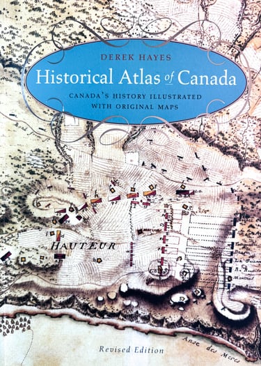
Historical Atlas of Canada
Canada's History Illustrated with Original Maps
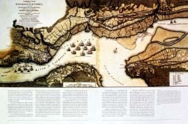
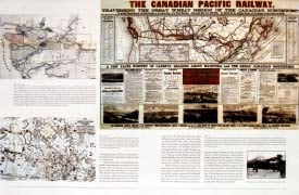
Canada's history comes alive in this fascinating book, which uses period maps to illustrate and illuminate the past. Here are charts of the seizing of an empire and the settlement of the prairie, of war and wanderlust, battles and boundaries, forts and the fur trade, river communications and railway surveys, rebellion and gold rushes, plus maps of all the major cities, including the map attached to the treaty purchasing Toronto from the Indians. There are plans drawn for governors, kings, princes, and the Empress of Russia; panoramic maps; bird's-eye maps; and three-dimensional maps. Many of the maps are artistic, some utilitarian, but all are included for their historical significance and the story they have to tell.
CANADA'S HISTORY has been profoundly influenced by its geography. What better way, then, to explore the nation's past than through historical maps? Derek Hayes, author of the award-winning Historical Atlas of British Columbia and the Pacific Northwest, has compiled more than four hundred original maps that capture the sweep of Canada's history. This unique and stunning collection reveals the past from a profoundly new perspective.
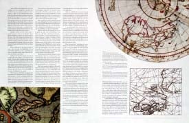
The Historical Atlas of Canada covers a period of a thousand years and contains essentially all the historically significant maps of the country. Here are the often colourful, sometimes bizarre charts of European explorers who discovered Canada while seeking an easier westerly route to the riches of the Orient. Never mind that there was no easy way through or around Canada. Many of these early surveys depict imagined straits and passages; one shows the St. Lawrence River flowing from an opening on the coast of California.
Gathered from major archives and libraries all over the world, the maps in this volume include many treasures of the National Archives of Canada-many never before published-and many from the archives of the Hudson's Bay Company. Included are charts by the founder of New France, Samuel de Champlain; by master mapmaker James Cook; and by master surveyors David Thompson, Philip Turnor, and Peter Fidler. There are English maps and French maps; Spanish maps and Russian maps; American, Italian, and Dutch maps as well as maps drawn by native people such as the Beothuk, Blackfoot, and Cree.
Maps show the way things were in a unique geographical way. Explorers created their own maps, but the maps they took with them also succinctly depict what they knew or expected to encounter, an expectation that often shaped their decisions. Rare native maps show how the land was known to Canada's aboriginal peoples before significant contact with Europeans. All of these-and more-are here in the Historical Atlas of Canada, an insightful, distinctive, visually rewarding outlook on the nation's past.
Published in Canada by Douglas & McIntyre and in the United States by University of Washington Press


