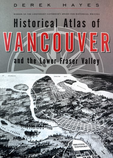
Historical Atlas of Vancouver and the Lower Fraser Valley
A unique and stunning new perspective on the history of Vancouver and its region.
Now, from award-winning author and book designer Derek Hayes and Vancouver publisher Douglas & McIntyre comes this fascinating new atlas of Vancouver's history.
Illustrated with over 370 original maps, many never before seen by the general public, this full-colour, large-format book is a visually spectacular feast for the eyes.
The book also contains over 140 archival photographs and artworks and modern photographs. The area covered includes the City of Vancouver and its region, from West Vancouver to Chilliwack and everywhere in between.
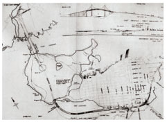
Discover how things were-and how they might have been. This fascinating collection of more than 370 original maps provides a unique perspective on Vancouver's colourful past. The maps chart the growth and development of the Vancouver region from its early exploration, its days as a fledgling colonial outpost, and its appearance on the world scene following the arrival of the Canadian Pacific Railway, through to its emergence as a post-war Pacific Rim metropolis and coming Olympic city. Many lesser known facets of Vancouver's history are uniquely illustrated. Included are many intriguing maps that show plans for a city that might have been-with a dam at the Second Narrows, an airport in English Bay, a vast dockland on the tip of Point Grey, a city extended well out into the Strait of Georgia, a network of downtown freeways, and many other schemes. Be sure not to miss this fresh and captivating view of our local history!
Discover how government reserves shaped Vancouver, who was responsible for North Vancouver's Grand Boulevard or West Vancouver British Properties. Read of the railway barons' competition for routes into Vancouver, and the freeway planners ideas for covering the region-and downtown-with a network of freeways. Read how Vancouver was defended during the Second World War and examine the evacuation plans for the city in the event of a nuclear attack. Visually stimulating and meticulously researched and written, this is a history of Vancouver and its region like no other.
Vancouver had its beginnings as a sleepy sawmill outpost on the edge of a sparsely settled, mostly unmapped new colony of British Columbia. In less than a century, the city grew to a bustling metropolis of more than a million people. Here, gathered together in a single volume for the first time, are the maps that shaped the city and its region, the Lower Fraser Valley. Whether faithful to reality, fanciful, or strictly promotional, these maps represent a rich documentary and artistic legacy.
With an explanatory text full of intriguing details, the Historical Atlas of Vancouver and the Lower Fraser Valley reproduces in full colour more than 370 important maps on various themes, supplemented by over 140 archival photographs, artworks, and modern photographs. Here are maps drawn by the coast's first explorers, including George Vancouver's chart of the locale that would come to bear his name. Many other maps pre-date the City of Vancouver, and include plans for a vast new capital city of the new mainland Colony of British Columbia-before New Westminster was chosen.
This graphic journey through local history details the dreams and schemes of a thousand land developers, engineers, architects, city planners, and visionaries. Among them were plans to dam the Second Narrows and create a freshwater lake behind it, complete with a canal connecting Port Moody to the Pitt River. Another proposed to extend Richmond westwards into the Strait of Georgia. Yet another proposed an island in False Creek, created out of a sandbar; today it is Granville Island. Others wanted to fill the creek in completely.
Hardcover: 192 pages. Dimensions: 31 x 24.6 x 2.5 cm. Full colour throughout.
Publisher: Douglas & McIntyre (March 2006)
*** City of Vancouver Heritage Award April 2011 ***
Plans for an "ocean parkway" in English Bay leading to a doubled-up Lions Gate Bridge, 1960
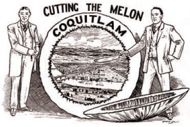
Sales map for Coquitlam townsite, 1912
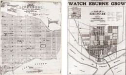
Vancouver’s West End, originally laid out as the city of Liverpool in 1882. and Marpole - a real estate ad from 1911
A real estate ad for a non-existent city east of New Westminster, 1912

